Data Types
- Documents
- Layers
- Maps
Documents and layers can be accessed from the Data menu of the navigation bar.
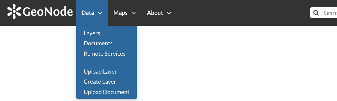
Data menu
The Maps menu let you to manage maps.
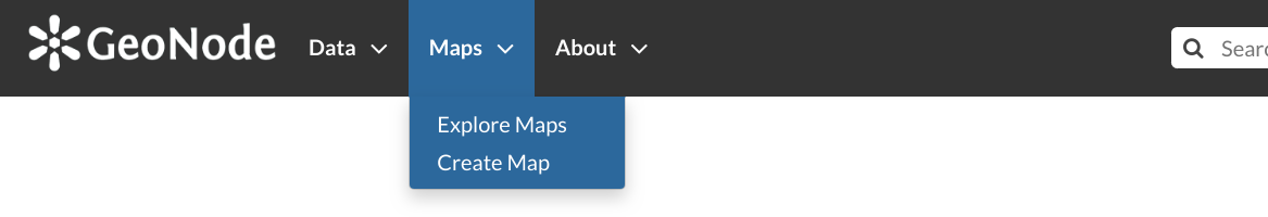
Maps menu
Documents
Layers
Vector data can be uploaded in many different formats (ESRI Shapefile, KML and so on…). Satellite imagery and other kinds of raster data can be uploaded as GeoTIFFs.
Maps
GeoNode maps also contain other information such as map zoom and extent, layer ordering, and style.
You can create a map based on uploaded layers, combine them with some existing layers and a remote web service layer, share the resulting map for public viewing. Once the data has been uploaded, GeoNode lets the user search for it geographically or via keywords and create maps. All the layers are automatically reprojected to web mercator for maps display, making it possible to use popular base maps such as OpenStreetMap.